

METOC and ocean data
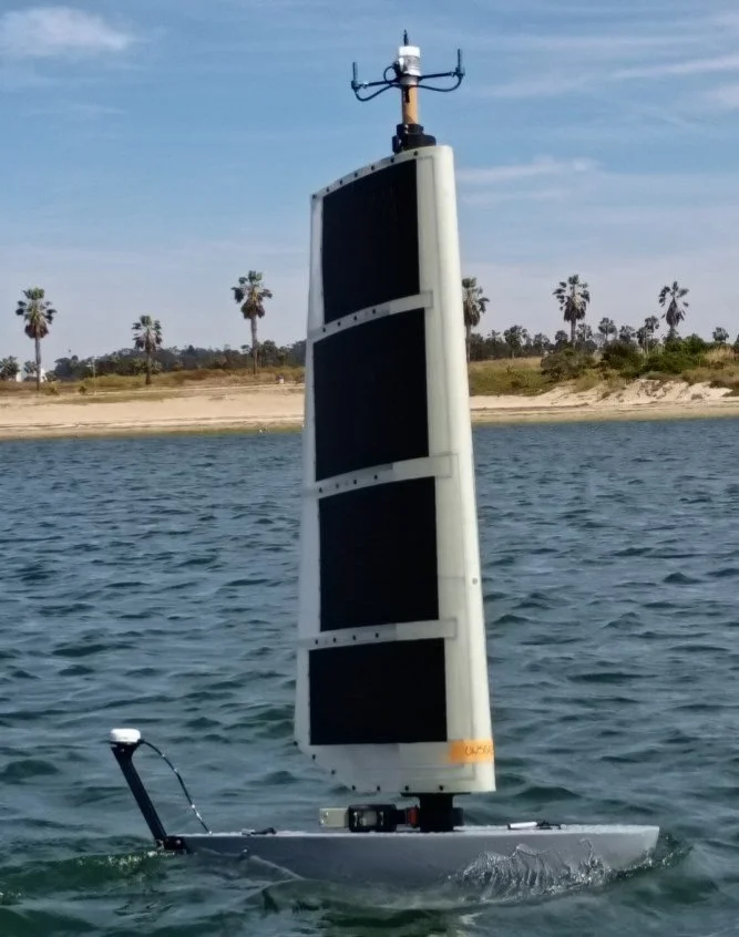
Every HORUS is a weather and ocean station. A fleet builds a live, local picture of wind, sea state, temperature, salinity and currents, and keeps reporting through the storm.
Why it’s hard today
Point measurements and occasional surveys miss how local conditions change. Routing, launch windows and sensor placement all depend on knowing what the water is doing now.
How HORUS does it
- 1
Measure the air
The masthead unit tracks wind speed and direction, air temperature and pressure, with humidity on request.
- 2
Measure the surface
Sea state is computed on board by the main vessel controller.
- 3
Measure the water column
Water temperature and salinity are measured below the waterline, and at depth when HORUS dives.
- 4
Build the picture
Readings from several vehicles at several depths feed route planning, timing and risk decisions.
Sensors and payloads
- Air temperature, pressure and humidity
- Anemometer and wind vane
- Optional CTD and turbidity sensors
- Sea state from the vessel controller
- Water temperature and salinity
Payloads are configured around the mission. See the HORUS specifications for power, comms and payload details.
HORUS can submerge to ride out severe weather and keep collecting data at depth.
Other HORUS missions
Plan this mission with us
Buy outright, lease operations or buy the data. HORUS is accepting orders.