

Harbor, EEZ and marine protected area security
Persistent, reconfigurable sensing for ports, critical infrastructure, exclusive economic zones and marine protected areas, including IUU fishing enforcement.
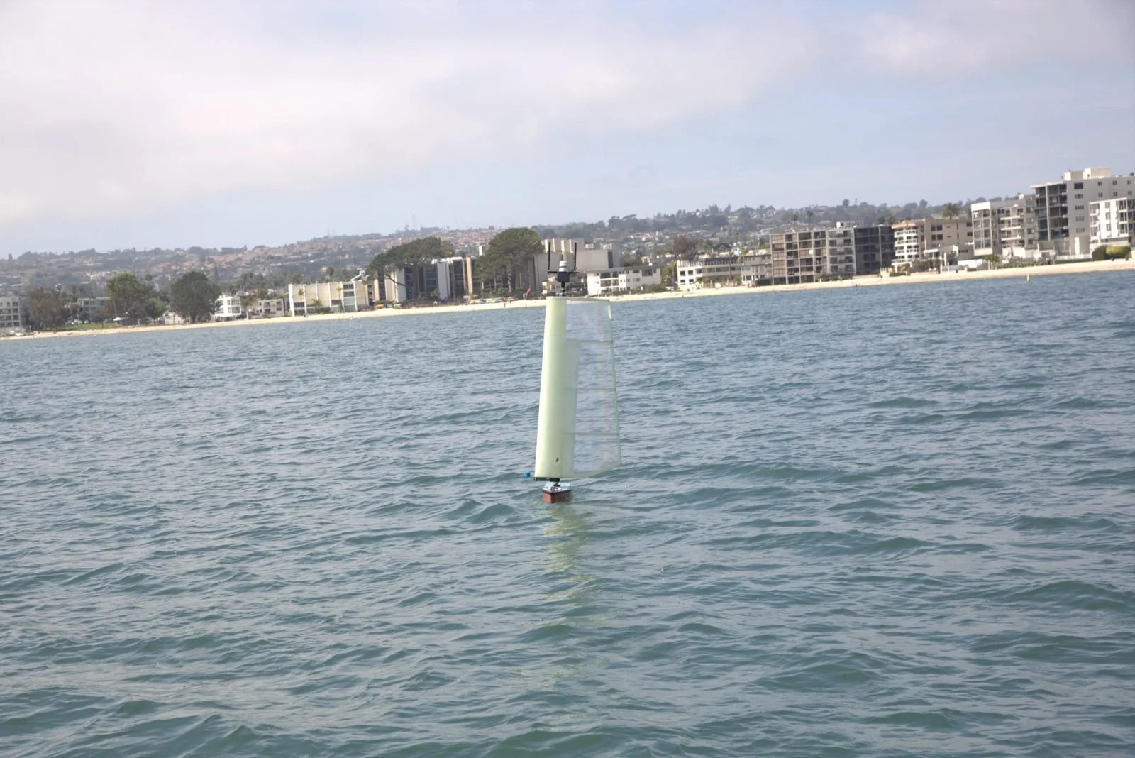
Why it’s hard today
Coastlines, harbors and offshore zones are too large to patrol continuously with crewed vessels, and fixed sensors can’t be moved when the threat moves.
How HORUS does it
- 1
Set the perimeter
Operators set waypoints, inclusion zones and geofences in the web chart interface. Vehicles hold station or patrol.
- 2
Sense above and below
Camera, microphones, hydrophones and AIS give a combined picture of surface and subsurface activity.
- 3
Reconfigure as needed
Vehicles can be moved to a new perimeter or added to a fleet without new infrastructure.
- 4
Alert operators
Exception-based reports flag intrusions and unusual activity for follow-up.
Sensors and payloads
- AIS receiver (standard)
- Hydrophones and acoustic arrays
- Masthead camera and microphones
- Optional electromagnetic and optical sensors
- Satellite, LTE and mesh radio
Payloads are configured around the mission. See the HORUS specifications for power, comms and payload details.
Larger HORUS variants can be commissioned for wide-area surveillance and IUU fisheries enforcement.
Other HORUS missions
Plan this mission with us
Buy outright, lease operations or buy the data. HORUS is accepting orders.